Welcome to WordPress. This is your first post. Edit or delete it, then start writing! [...]
1 Comment
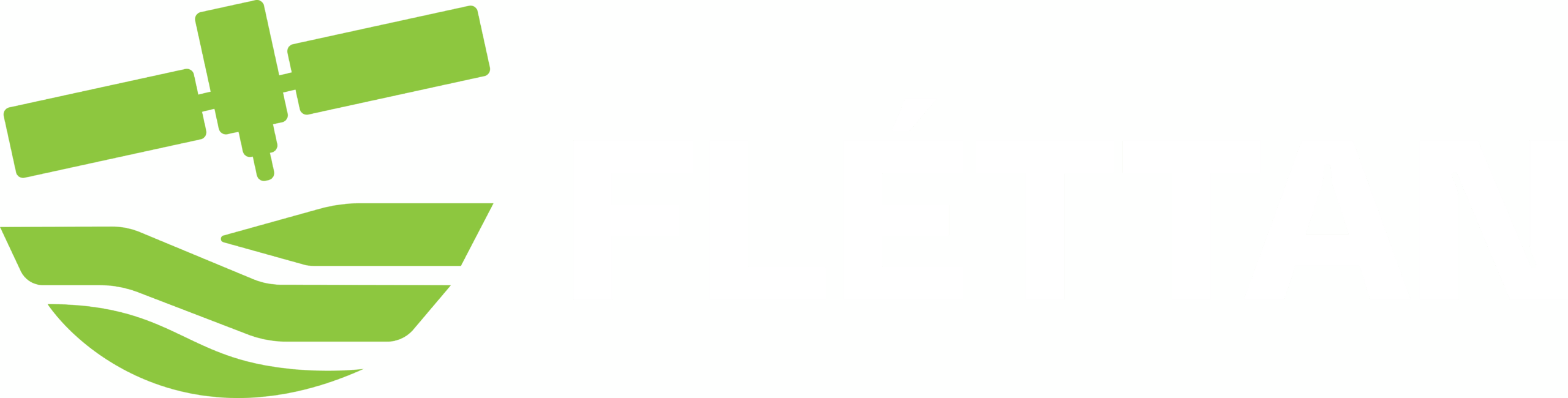
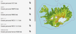
📢 Big news! Fléttan is now fully integrated with QGIS, ArcGIS, and Google Earth Engine, [...]
Exciting news from Fléttan: we are set to enter the beta testing phase in collaboration [...]
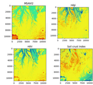
Our Research & Publications Team, led by Eromanga Adermann and Daniel Fernández, has published an [...]
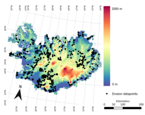
Learn more about soil erosion in Iceland and on what our research and work is [...]
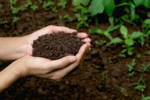
Our dedicated team at Fléttan is thrilled to announce the completion of a comprehensive soil [...]
2 Comments
You can now stream our data directly into your work platform (QGIS, ArcGIS and more) [...]
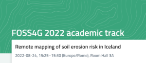
Remote mapping of soil erosion risk in Iceland @ FOSS4G 2022 https://talks.osgeo.org/foss4g-2022-academic-track/talk/CA3TGA/ [...]