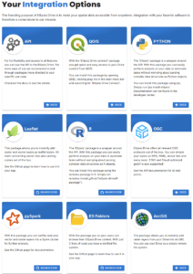
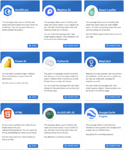
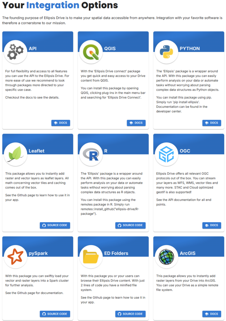
📢 Big news! Fléttan is now fully integrated with QGIS, ArcGIS, and Google Earth Engine, making our erosion monitoring and spatial analysis solutions more accessible and efficient than ever. By leveraging Ellipsis Drive, we provide fast, secure, and seamless access to high-resolution spatial data, including tiles, vector data, and rasters—without the usual technical hurdles.
🚀 What This Means for You
✅ Instant Access to Spatial Data
Fléttan’s datasets—including erosion risk maps, Sentinel-2 imagery (RGB, NIR, NDVI), and historical land change analysis—can now be directly accessed and integrated into your preferred GIS platform. Whether you work in QGIS, ArcGIS, or Google Earth Engine, our data is ready to use.
✅ Powered by Ellipsis Drive for Unmatched Performance
By using Ellipsis Drive, we ensure that all our spatial products:
- Render instantly in any GIS workflow
- Scale efficiently with high-performance web services
- Enable real-time collaboration without versioning issues
- Seamlessly integrate with browser-based applications
✅ Web Maps on Demand
Need a quick visualization? Fléttan also produces on-demand web maps that can be embedded in a browser or shared with clients for real-time monitoring and decision-making. No downloads, no processing delays—just fast, interactive geospatial intelligence.
🌍 Transforming Environmental Monitoring
With this integration, Fléttan takes another step towards revolutionizing Arctic environmental monitoring. Our mission is to provide data-driven insights that help scientists, policymakers, and land managers make informed decisions—faster, smarter, and with the best accuracy possible.
🔗 Get in touch with us today to explore how you can leverage Fléttan’s data for your projects!


#Fléttan #GIS #RemoteSensing #EllipsisDrive #QGIS #ArcGIS #GoogleEarthEngine #EnvironmentalMonitoring

